The Importance of Units

When cruising, you will frequently encounter countries that use imperial or metric units. These units are very important!

We started our journey in the United States, where fuel is sold by the gallon. Fuel prices when we left were around $3-4 per gallon. Our next stop was in the Bahamas where fuel prices were more expensive, ranging $4-7 per gallon. Our last port before heading to Bermuda sold fuel for $5.40 per gallon.

We use fuel to power the generator to keep our fridge running should cloudy, windless days persist and run down our house battery bank. Keeping our food refrigerated and frozen is worth buying 10 gallons of gasoline!

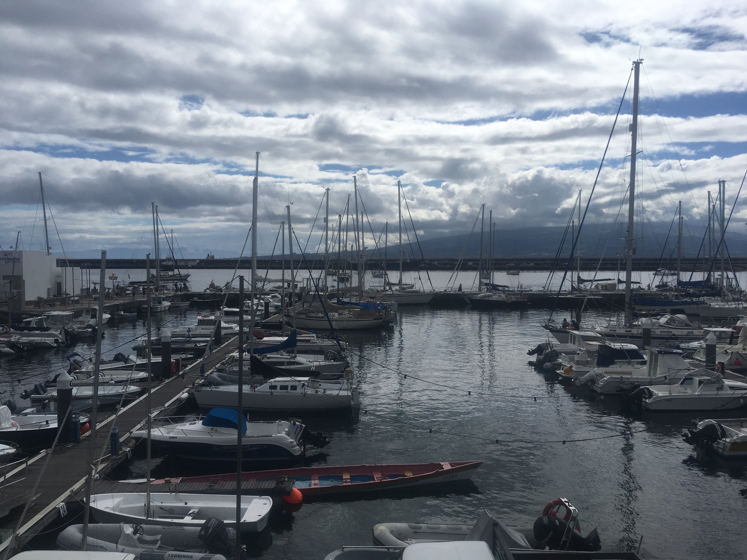
I was relieved when we arrived in Bermuda and found gasoline to be sold for $2.19! Being a former British colony, I assumed that they would also use the gallon. Our next stop when we leave Bermuda is the Azores, about 1800 miles away! So we decided to purchase an extra 5 gallon (20L) jerry can.

Bermuda is famously expensive, but nowhere near as expensive as people had led us to believe. We could still eat out and have a wonderful meal for about the same prices as stateside dining. I think the real kicker comes when cruisers tank up before leaving. This is usually their last purchase in Bermuda and therefore the one that is freshest in their mind when they reach home.

The fuel we bought was $2.19 per liter. At 3.8L per gallon, this meant that fuel here was $8.32 per gallon!

Our meager purchase of 15 gallons and a jerry can was $150! Yeah.

Now I understand how people can complain about prices when they need to buy hundreds of gallons of fuel to get home.

The moral of the story is: pay attention to the units because it can radically affect your experience.

Waiting

Sailing to Bermuda has been a relatively easy sail in the grand scheme of things. We have had light airs, steady airs, and a little bit of heavy airs, but they have had a steady direction in all cases. For the past two days we have been flying the staysail and double reeder mainsail as we bear to windward.

The monitor windvane has been steering us religiously as close to the wind as we can point while the sails power us along.

It just feels like this tiny island is so close yet so far as we sit here with only waves on the horizon. The sun comes up, the sun goes down, and only waves are in view.

We currently have only 70 miles left to the harbor in Bermuda, but it still feels like forever! All of us on board are planning what we want to eat when we get on shore, but the truth is we only see water as we continue to wait.

Waiting, the most common activity on a blue water passage.

Still Sailing!

Maddie and I set sail to go cruising back in July of 2017. We post videos on YouTube (http://www.youtube.com/riggingdoctor) and blog posts regularly as long as we have internet access. If you are seeing this post, it means that I haven't been able to get access to the internet yet. 

If you would like to follow us on our live tracking map, you can always join the Sailing Buddies, where you will receive the password to the Sailing Buddies page! 

Stay tuned, for as soon as I have internet access again, I will be posting again! 

IMG_1787.JPG

Peace with the Ocean

When out at sea, it is imperative to forget all the typical drives of shore-based land. Schedules, times, dates, they all whither away as you are lulled into the peacefulness of the ocean.

When coastal hopping, even offshore, we used to have our navigation equipment on. We had a route plotted and knew a speed we needed to maintain in order to arrive at the correct tide. We were sailing from one port to another and in a rush to make the passage as quick as possible.

All that changed when we left to cross the Atlantic Ocean. We left the United States from the Lake Worth Inlet and pointed the bow of the boat due East. As soon as the water depth increased to 60 feet, we figured that our chances of bumping into a shoal were nil, so we turned off all of our navigational equipment.

It felt so weird to turn off the chart plotter, a screen that was always illuminated is now dark and blank. For the past three thousand miles, that screen has told us where we are, where we are going, how fast we are moving, our coordinates, and our battery voltage. Now it stands there quietly as a ghost that it once was.

Why turn it off you may be wondering? Simple, the unit draws a lot of electricity, and that power could be better used to run the fridge or power our navigational lights.

It's not that we are floating around aimlessly in the ocean with no clue where we are. Instead, we use other methods of determining these facts. For instance, our location is found at local apparent noon, when the sun is directly overhead and we can sight it with the sextant. I plot our sighting position and compare it to the GPS readout on our radio. This lets me know how far we have traveled from noon to noon, as well as tests my skill with the sextant.

For direction, we have the compass. For our course, we know we want to move east, so we simply aim the bow at good weather that is located east of us. As we cross the ocean, the weather will change and we will alter course to keep in the good graces of the weather raging around us.

While it is nice to know how fast you are going and if a sail change or trim improved your speed, but the truth is, it doesn't really matter. Simply trim so that the bubbles go past your boat as quickly as possible and then sit back to relax. At the next noon sighting, you will know what your distance made good was that day and how fast your average speed was.