Life Aboard

Anchoring Stars

FullSizeRender.jpg

Part of cruising is experiencing new places, but these places could easily (and probably much more easily) be visited by land or air. While the sights at the destination are identical, there is a time when cruising will set its sights apart from any other method of reaching this destination. 

This shirt was developed to embody the wonder of an anchorage, where the mast head anchor lights blend into the night sky as extra stars. The yachts beneath them disappear into the darkness of the night, with only a small light high above them quietly displaying their presence.

You can purchase this shirt at Teespring by following the link below: https://teespring.com/anchoring-stars?tsmac=store&tsmic=rigging-doctor#pid=2&cid=2397&sid=front

Sailing from Georgetown to Charleston, SC

Georgetown is a small port town, Charleston is a large port city! While we had just made it to Georgetown, we really wanted to get to Charleston, and the winds looked like they would be favorable for this journey. 

Charleston is located about 40 miles south of Georgetown, inlet to inlet, but the distance from anchorage to anchorage is around 67 miles. The added distance comes from navigating the inlets and avoiding the offshore shoals before you can finally head to the next inlet. 

Now, the issue is the prevailing winds blow from the South, meaning that this journey would usually require beating for 40 miles to windward. Instead of slogging along, the alternative is to wait for a cold front to come through and reverse the winds. This is a delicate subject, as not all fronts are created equally.  

You would not want to head out into a powerful cold front, but at the same time, a weak front might not generate enough winds for you to actually sail. 

The way the weather was looking, the current cold front was creating winds of 30 knots from the North and massive seas; not exactly ideal to head out in. As the front passed, the winds began to die down, we then headed out and rode the tail end of the storm. The winds were on the light side, but still enough to motor sail at a very slow pace of 2-3 knots. 

The light winds meant that we needed to listen to our generator for 23 hours straight, as we motor sailed along the coast, but they also meant that the seas were calm and the voyage was uneventful. 

Aside from the winds, the next consideration to take into account is the tides. The tidal currents in these inlets can be quite dramatic, so it is best to time your passage of the inlets at slack water, when the tides are lightest. 

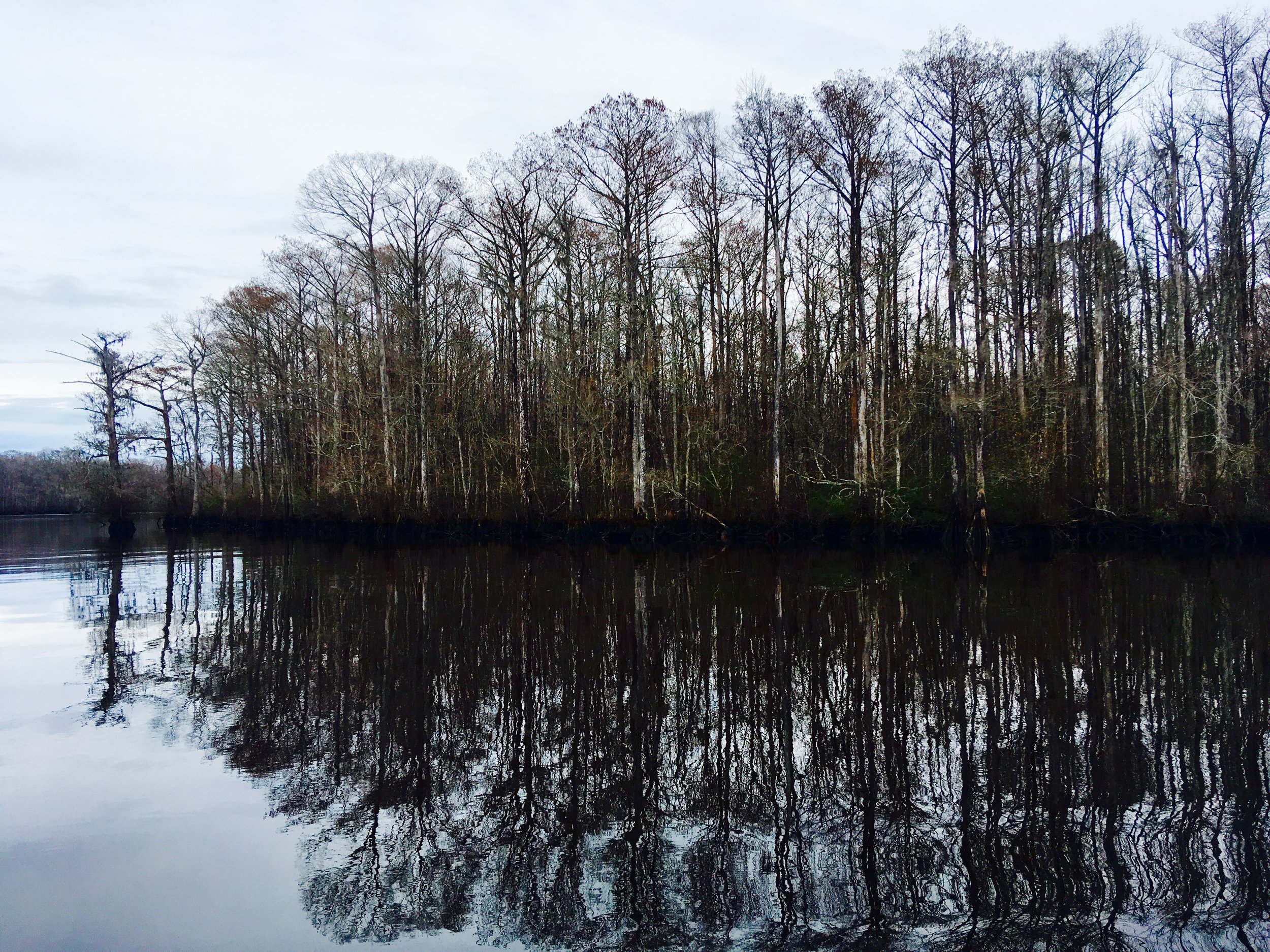
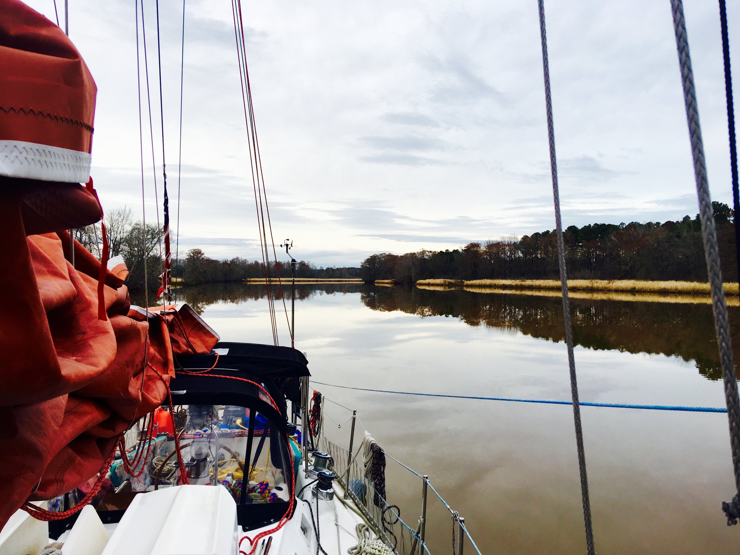
To accomplish this, we raised anchor at 4:30 AM, and left the anchorage by 5:30 AM. We were heading down the river for 16 miles as the current was pushing us back up. This meant that we were slowly moving, but we did manage to reach the inlet at slack water. Slack water is especially important when navigating weird inlets that have sand bars and breakers. You might think you are steering clear of an obstruction, but the current will take you right onto the shoal and pummel you with breaking waves! Slack water takes this fear out and gives you a short window of time to scoot through easily. 

Once we made it out into the ocean, we were faced with the leftover slop from the previous storm. The seas were merely 6 foot swells that were causing us to toss around; a stark distinction to our still time on the ICW. Had there been a strong current, these seas would have been even more miserable for us as we transitioned from river to ocean sailing. 

Motor sailing with an electric motor and generator is very uneventful. Every effort is taken to alleviate the slating of the sails in the windless patches, and any puff of wind is welcomed as it grants you a speed push. 

As we reached Charleston, the sun was setting and fog was rolling in. Charleston is not an easy inlet due to the rock jetties and all the confusing lights that exist as you enter. The fog actually made this simpler, as it obscured the city lights and only allowed visibility of the next lighted buoy. Since fog was present and this is a major shipping port, I made my presence known on CH 16. The local tug boat captain conversed with me to make sure we would not have any close calls. He found us on his radar, I found his navigation lights on the horizon. As he approached, I stayed to the right of the channel and we had a very peaceful passing in the night. Had we not communicated, this situation would have been much more stressful.  

While I don't like to rely on electronics, having Navionics on my phone made entry to the port and anchorage possible. When the channels divide, the blue line on the screen tells you which is the correct way to go.  

We left Georgetown at 5:30 am and arrived at Charleston at 5:00 am. This made for a very long day, but it got us to a new city with benign weather. 

Georgetown, SC

When cruising, we find that the biggest awe inspiring revelation that we are in a new land comes from foreign vegetation. Living in Maryland for several years, we are accustomed to the deciduous trees and conifers that make up the land. When we left to go cruising, this same flora and fauna was consistant all the way through Virginia and North Carolina. When we reached South Carolina, we started seeing palm trees, but everything else seemed the same and not that striking to us. 

When we reached Georgetown, SC, we felt we had gone someplace new! 

FullSizeRender.jpg

Spanish Moss hanging from every branch and Resurection Fern growning on all the trees made this landscape feel alien to us! We felt like we had really made it to a new land that has totally different ecology from what we are used to. That made it feel like we had finally made it somewhere new! 

Compass Bubble

IMG_2065.JPEG

Does your compass have a bubble in it? This annoying air bubble will make it hard to read your compass at certain angles. The bubble is caused by either air getting into the compass or oil leaking out of the compass. Either problem can be remedied easily by adding more oil to the compass.

IMG_1991.JPG

To fix your Ritchie Compass, you will need Ritchie Compass Fluid, a blade screw driver, and a syringe.

IMG_1988.JPG

Begin by removing the compass from its mounting apparatus and locate the only screw on the side of the compass. This is the only screw in this area so it is hard to miss. This screw serves the purpose of keeping oil in, keeping air out, and adding more oil if needed.

IMG_1983.JPG

Simply turn the compass on its side so that the screw is facing up and begin unscrewing it. Don't be alarmed if it takes you a while to get the screw out, it is rather long! Be sure to orient the screw up though, otherwise oil will begin to drain out of the compass and make a huge mess!

IMG_1986.JPG

With the screw removed, add oil through the little hole with your syringe. As you add the oil, be sure that air is able to escape. Once all the air is out of the compass, oil will begin to work its way up to the top of the opening. It is important to have oil all the way up to the top that way the end of the screw is immersed in oil from the beginning. If there is a small bubble in the screw hole, the screw will simply force the bubble back in and you will find a tiny bubble inside of your compass instead of a large bubble.

IMG_1987.JPG

Once all the air is out and the screw put back in tightly, you can turn the compass back to being right side up! If everything worked well, there should be no visible air bubble inside the compass. If some air got trapped in the screw hole, then you would see a tiny bubble in the compass. Simply repeating the steps will get that pesky little bubble out of there so that you can easily view the compass from all angles.

Waccamaw River

If you live on the East Coast of the United States and want to see something completely different without traveling very far, look no further than the Waccamaw River in South Carolina. 

FullSizeRender.jpg

The water is still and tranquil creating reflected images of the trees on the waters surface.  

FullSizeRender.jpg

The trees grow right out of the water! It will be 20 feet deep right up next to the trees. 

FullSizeRender.jpg

In the trees lives a plethora of creatures that you can view and listen to from the safety and comfort of your boat.

FullSizeRender.jpg

Remants of old rice fields are now covered in golden grasses that shine from between the trees.

FullSizeRender.jpg

The scenery around you might make you wonder how you got here because it looks like something out of a dream!

FullSizeRender.jpg

The water ranges from black (because of all the decomposing leaf matter) to brown following a heavy rain.

FullSizeRender.jpg

We spent several days leisurely going down this river, taking in all the sights that we could.

FullSizeRender.jpg

When you feel like stopping, all you need to do is drop the anchor and relax.

FullSizeRender.jpg

The Waccamaw River has definitely been a highlight of our trip so far!