Weather fax

Transatlantic: Day 22 [Day 43]

We are nearing the end of July, and also nearing the Azores. Soon we will need to turn South towards the island chain and enter the Azores High, an area plagued by light winds and currents. Normally, cruisers will sail across the Atlantic and then motor the last few days once they lose all wind as they enter the High. We don’t have that luxury, which is why we carry a suit of light air sails. I had these sails (a drifter and a light air mainsail) made out of ripstop nylon (spinnaker material) just so that we would be able to sail once we entered the High ourselves.

IMG-3365.jpg

The closer we can get to the islands without entering the High, the longer we can sail for. To complicate matters further, the Gulf Stream flows through here, so wind or no wind, there is a strong current carrying you to the East. If you miss your island, you might have some trouble sailing back to it against the current with no wind!

IMG_4262.PNG

Our Australian friends were able to receive this information from Predict Wind, but we weren’t able to see it while we were still sailing. They just gave us a brief version in 160 character text messages to our satellite phone. When we did finally meet up in Horta, they gave me all of these screen shots that he had taken of the weather reports.

The forecast is processed by Predict Wind and run through four models. You have the US model, Predict Wind’s version of the US model, the European model, and Predict Wind’s version of the European Model. The information is broken down into various categories and based on the performance of your boat or the conditions you are looking for, you can choose the route that you think will work best.

Talk about gambling!

IMG_4201.PNG

It gets interesting when you throw islands into the mix. Some of the models are saying to go North of Corvo, others are saying to go between Flores and Corvo, and others are saying to go South of Flores.

As you approach Faial, the red model is saying to drop south of Faial and come back up to it, while the green model is saying to go North of Faial and then approach Horta from the East side of the island.

The same information goes in, and yet all four models say something completely different. Out in the ocean, it doesn’t really matter where you go because there is just plain old ocean everywhere. When you throw islands into the mix, you now have wind shadows to contend with and you have to wonder: are these wind shadows accounted for?

FullSizeRender.jpg

We had another bright moon light night to show us that the wind and waves were plenty and strong. We continue to sail East, waiting for the signal in the sky to tell us to turn Southward towards Faial.

Transatlantic: Day 12 [Day 33]

We are approaching the Azores High and it would behoove us to head further north to keep with the winds.

IMG-3353.jpg
FullSizeRender.jpg

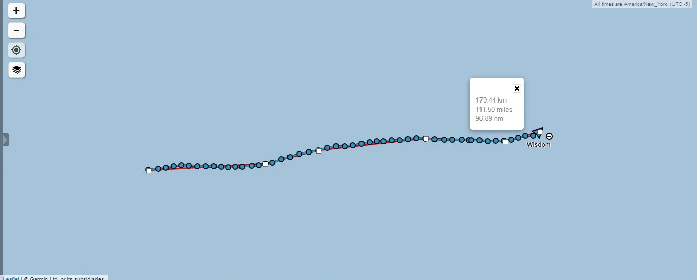
We are moving a little slower but still moving right along. The weather around us is stable and we are making great progress, but we know that the large high is rising up from the south and will bring calm winds and seas. The further north we can get, the more chance of keeping up this pace we will have.

The view never changes, everywhere we look, all we see are clouds and waves. The waves tell us what the winds are like right now and the clouds tell us what the winds will be like in the next few days. We haven’t bothered to receive a Weather Fax in weeks since they are so inaccurate. Instead, we get our weather the old fashion way: by looking up at the sky!

Transatlantic: Day 8

No more Weather Fax! It keeps predicting wind and then not delivering. Friends on shore also keep telling us that tomorrow, there will be plenty of wind, but it never comes!

This is my first night of the crossing that when 8pm EST comes around, I don’t download the Weather Fax. It has become a joke on the boat: Whatever the Weather Fax calls for will be the only scenario that will not occur! If it calls for wind, prepare to be becalmed. If it calls for becalmed, prepare the storm sails!

Maddie and I decide to stop chasing the wind that is supposed to be somewhere out there and instead begin our VERY slow journey East.

Transatlantic: Day 7

We could not catch a break! The winds that were supposed to occur down south ended up happening up north, back where we were! We quickly turned around and began making our way back to where we were yesterday.

IMG-3323.jpg

What about the winds that we were told would happen? Nope, nothing, nada. We were bobbing around with no wind in sight.

FullSizeRender.jpg
FullSizeRender.jpg
FullSizeRender.jpg
FullSizeRender.jpg

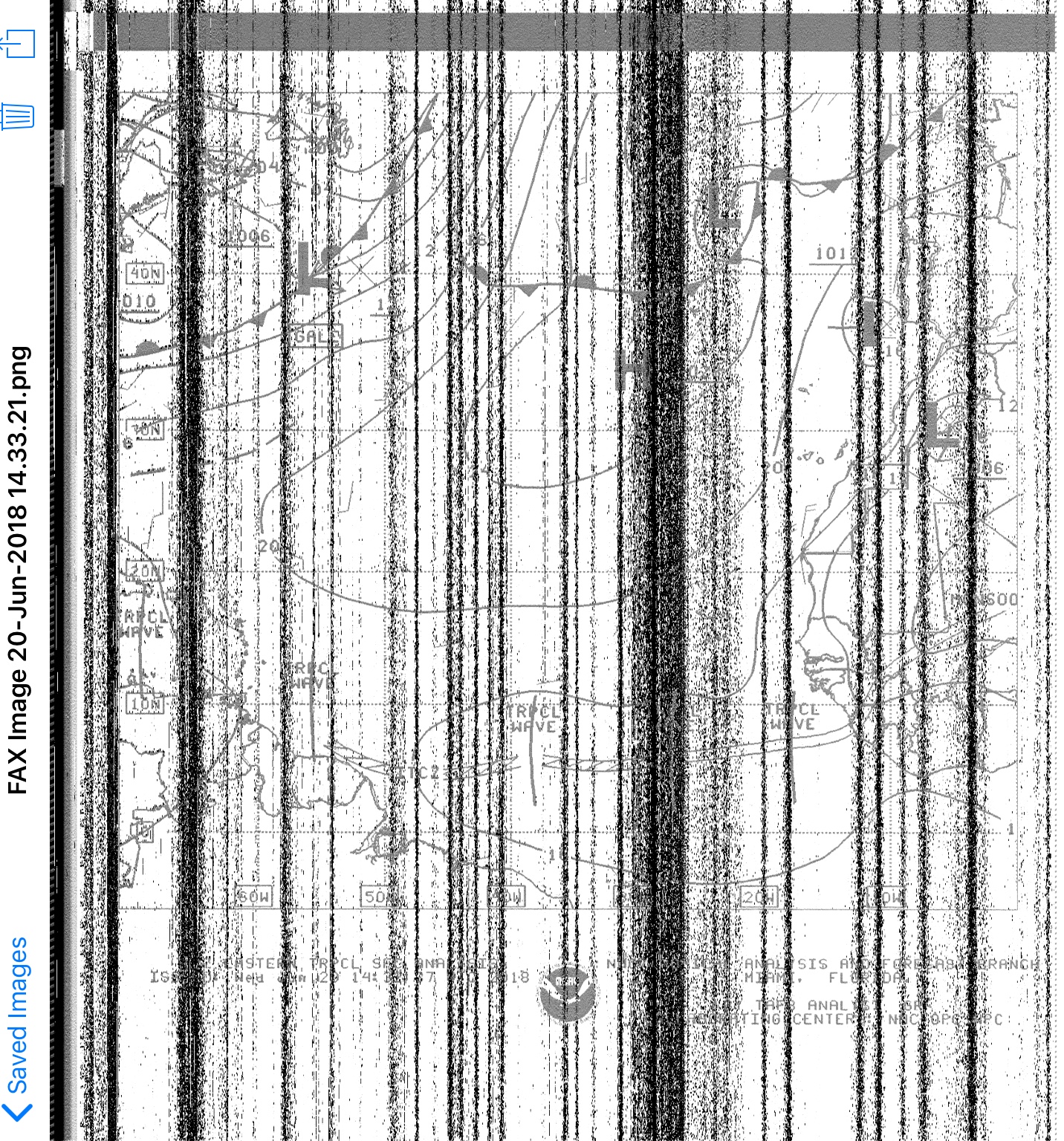
To make that day even better, I couldn’t get a single weather fax to come in! Everything was gray and static!

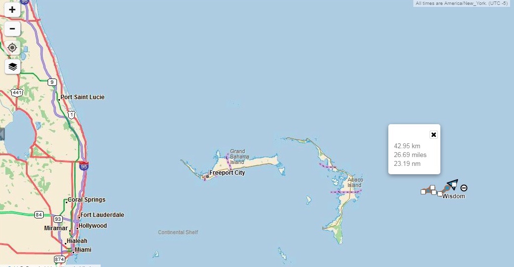
When we planned our transatlantic voyage, we were planning on covering 100 miles per day since this is average. Being how we are a bit slow, we were expecting to cover 80 miles per day. We are now a week out from shore and still hanging around the Bahamas! That is where people go because they don’t want to sail far away from land go!

How are we supposed to cross an ocean if we can’t even break away from land?

Transatlantic: Day 5

A front is supposed to be rolling in, so we make a straight line shot away from it for two reasons:
1. Bad weather is the opposite of good weather.
2. According to our friends on land that were texting us to the boat via our sat phone, the winds were supposed to be blowing out of the West tomorrow down there at a steady 20 knots!

IMG-3321.jpg

The 1020 line is far away, but if we are supposed to have wind, we will take it!

FullSizeRender.jpg
FullSizeRender.jpg

Looking further out at the weather map of the Eastern Atlantic, it appears that the gales have toned down. At this point there is only one gale hovering west of the Azores.

We head south as we wait for the beautiful winds tomorrow is supposed to bring!